
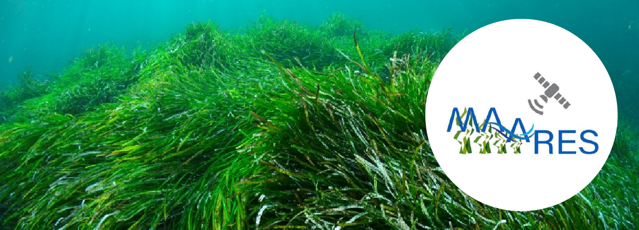
The MAARES project, co-funded by the MCST Space Fund Programme and Malta’s Ministry for the Environment, Energy and Enterprise (MEEE), had commenced to deliver its first tangible results one year into its implementation. Through a series of SCUBA dives within Posidonia oceanica seagrass meadows in shallow waters within a number of local embayments, a series of aerial drone flights over the same meadows and the utilisation of high-resolution satellite data (e.g. Sentinel 2), researchers collaborating on the project managed to accurately distinguish seagrass meadows from other benthic habitats within the mapped embayments. In turn, this milestone will enable the delivery of high-resolution distribution maps for Posidonia oceanica, thus establishing a reliable baseline from which to monitor future changes in the same distribution and hence supporting marine management efforts.
This high-resolution mapping exercise can be supplemented within the future elaboration of indices which reflect, for example, the density (a proxy for state of health) of the seagrass meadows being monitored given that generated values are validated through ground-truthing (SCUBA diving). P. oceanica-dominated assemblages are, in fact, considered, within EU legislation, as a priority habitat by virtue of the pivotal role these play within marine ecosystems. Concurrently, the same meadows are vulnerable to a kaleidoscope of anthropogenic pressures, including anchoring, pollution, sediment changes (e.g. through dredging) and anomalous sea warming. The optimised mapping tools being developed within the framework of the MAARES project will hopefully facilitate the identification of temporal changes in the distribution of P. oceanica meadows and the correlation, in the long term, of the same changes with human activities within the monitored sites.
The University of Malta, represented by Prof. Alan Deidun and Dr Adam Gauci from the Oceanography Malta Research Group of the Department of Geosciences within the Faculty of Science, is a partner within MAARES, along with the Coordinator of the project, Ambjent Malta, the Environment and Resources Authority (ERA) and PIXAM Limited. MAARES will tackle one major constraint in the current approach adopted to monitor P. oceanica: the laborious and arduous tasks of mapping the extent of sea grass using in-situ techniques such as underwater surveys. Indeed, past data collection approaches, employing both in-situ and ex-situ surveys, highlighted the need to obtain higher resolution data at larger spatial scales and more frequent temporal scales to capture the different phenological stages, to enable more in-depth understanding on the geographical extent and health status of this habitat. It is expected that this approach will not only improve the fine-tuning of policy related to marine habitat conservation but will also provide Ambjent Malta and ERA with the necessary knowledge to implement applied habitat conservation initiatives in Marine Protected Areas and territorial waters of the Maltese islands.
Further information on the MCST Space Fund as well on the MAARES project can be gleaned online.


