
From 3 - 14 October 2022, three students of the University of Malta, Joanna Causon Deguara, Rami Kalfouni, and Luca Laudi, participated in a short Erasmus course concerning geo-hazards and coastal modeling on the Greek island Santorini.
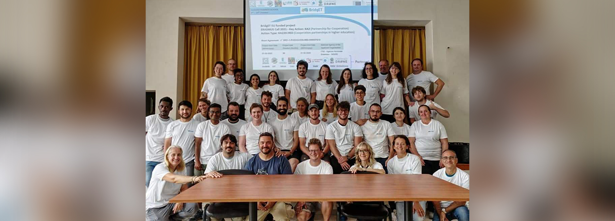
The summer school was organised as part of BridgET which is an EU project funded by the 2021-2027 ERASMUS+ Key Action 2 programme “KA220-HED Cooperation partnership in Higher Education”.
The project aims at addressing a growing demand for highly-skilled professionals in the coastal and marine geosciences sector. The project is lead by Prof. Alessandra Savini from the University of Milano-Bicocca.
The University of Malta, who is a partner in the project, is represented by Prof. Aaron Micallef. Numerous experts on the field of marine geology and geophysics presented the participants with theoretical knowledge in the volcanic area and introduced them to specialised applications designed for the collection and processing of geomorphological and geophysical data.
The students were introduced to a range of aerial-, underwater-, and on-shore instruments for data collection and were trained in the usage of related software to process the data collected to create models.
During a series of field trips within and around the Santorini caldera, Prof. Paraskevi Nomikou from the University of Athens explained the local geological history of the volcanic island, which has been studied by her research group over the past decades. These field trips included various beaches within the caldera, a boat trip to along parts of the caldera rim, a visit to pumice quarry and a short trek in the National Geological Park of Nea Kameni Volcano.
The German company Orthodrone displayed the usage of scientific drones/unmanned aerial systems while researchers from the University of Milano Bicocca demonstrated the collection of underwater imagery using a remotely operated vehicle (ROV) as well as onshore data collection using terrestrial laser scanners.
Professors and researchers from the Department of Geophysics at the University of Kiel showed how marine echo-sounding datasets are used to acquire information about the composition, structure, and formation history of underwater areas.
In this context, Prof. Aaron Micallef, who specialises in Marine Geology and Seafloor Surveying, gave deep insights into the monitoring and quantification of changes in the seabed using multibeam echosounder technology, digital terrain model analysis and artificial intelligence applications.
Members of the University of Liège demonstrated seismological methods which allow for the on-shore examination of ground properties in a given area. The generated knowledge is used by experts for risk assessments with regard to earthquakes, volcanic eruptions, and associated naturally occurring events in order to minimise future hazards. Management of geo-hazards was discussed by members of INGV - the Italian Institute for Geophysics and Vulcanology.
Students were also given the opportunity to experience developing technology of model creation in these fields through an immersive 3D simulator experience. The course ended with presentations by the participants, where students were given the opportunity to apply the acquired skills to identify potential geo-hazards in the Santorini caldera.


