
Geomorphology is the study of landforms and their evolution, shaped over time by both natural processes and human activities. This evolution often results in spectacular scenery and outstanding landscapes.
A notable example is the Grand Harbour: a natural port formed millions of years ago from a natural submerged valley. At its heart, lies the prominent peninsula, which later became the UNESCO-recognised European capital of heritage, Valletta. Flanking this central landform, are two deep harbours, each characterised by several creeks: on the north-western side, Marsamxett Harbour, linking Sliema and Gzira and on to the south-east, the Grand Harbour itself, that includes Marsa Creek and the three historic cities of Cottonera (Cospicua, Vittoriosa and Senglea) with the latter two also built on peninsulas.
These peninsular sites were ideal for people to settle and live throughout thousands of years. The settlement functions changed with times, starting with trade areas as a result of seafaring and bartering of goods and defence. In recent centuries and up to modern times, the port areas were used for trade, shipbuilding, imports and exports of goods, tourist activities, residential areas and key employment locations. The prominent human factor that influenced the geomorphology of the Grand Harbour peninsulas was related to defence and the building of the fortifications both by the Knights of St John (1530-1798) and during the British period (1800-1964).
University of Malta researchers, Dr Ritienne Gauci and Prof. John Schembri (from the Department of Geography) and Dr Thérèse Bajada (from the Institute for Climate Change and Sustainable Development) teamed up with French interns from the École Nationale Des Sciences Geographiques (Paris, France) and used Geographic Information Systems to better investigate the link between geomorphology and transport geography. The work involved data collection from the field, focusing mainly on Valletta, Vittoriosa and Senglea and secondary sources. Outputs included Digital Terrain Models to visualise the characteristic steep and complex slopes of the cities under study, which can act as barriers for pedestrians and staircases that were aimed to increase accessibility. This project transposed into two sub-projects: the first project is about the role of geomorphology in shaping settlements and its interaction with population and transport, while the second project is about how the compactness of these fortified cities present the ideal setting for chrono-urbanism - the 15-minute city concept.
Within this historical development, there were many instances where anthropogenic activities also altered geomorphological terrain, and such activities were driven primarily by proximity and geography. With human landuse development, complexity increases because there is the aspect of socio-economic activities heavily linked to mobility. People need to move around to carry out the daily activities that include commuting, errands and leisure. Mobility is influenced by the infrastructure and by the available means of transport.
University of Malta researchers, Dr Ritienne Gauci and Prof. John Schembri (from the Department of Geography) and Dr Thérèse Bajada (from the Institute for Climate Change and Sustainable Development) teamed up with French interns from the École Nationale Des Sciences Geographiques (Paris, France) and used Geographic Information Systems to better investigate the link between geomorphology and transport geography. The work involved data collection from the field, focusing mainly on Valletta, Vittoriosa and Senglea and secondary sources. Outputs included Digital Terrain Models to visualise the characteristic steep and complex slopes of the cities under study, which can act as barriers for pedestrians and staircases that were aimed to increase accessibility. This project transposed into two sub-projects: the first project is about the role of geomorphology in shaping settlements and its interaction with population and transport, while the second project is about how the compactness of these fortified cities present the ideal setting for chrono-urbanism - the 15-minute city concept.
The latter concept is all about a lifestyle that includes living within close proximity of where a person works, enjoys their leisure time and is within a close distance of the necessary services. This concept encourages the use of sustainable mobility, which includes modes of active travel, such as walking and cycling or the use of sustainable mobility like the bus service, or in the case of port cities, maritime transport.
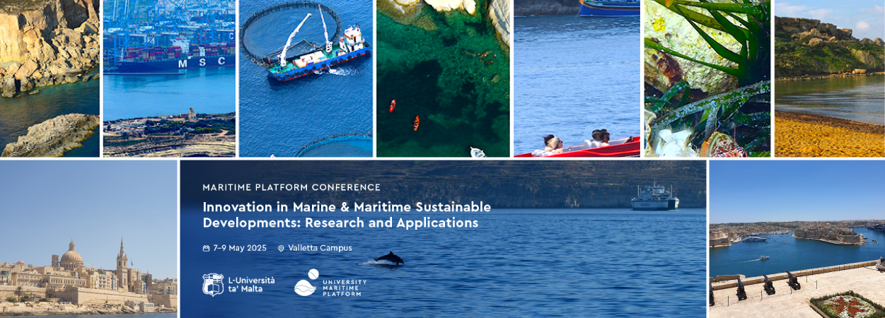
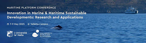
These works will be presented at the University Maritime Platform International Conference, Innovation in Marine and Maritime Sustainable Developments: Research and Applications, between 7 and 9 May 2025. Registrations are open to all those eager to learn and share experiences while contributing to recommendations that this conference will prepare for national and European consideration.
For further details about the conference visit the website and for more information on the UMP contact Prof. Adriana Vella by email.
Dr Ritienne Gauci, PhD Portsmouth, is Deputy Chair of the University Maritime Platform and physical geographer specialising in coastal geomorphology. Dr Thérèse Bajada, PhD University College London, is a member of the University Maritime Platform and a human geographer specialising in transport studies.
Reference is made to the news article published on The Malta Independent on Sunday on 13 April 2025 by Prof. Adriana Vella.


